A mountain of choices
Tell me more
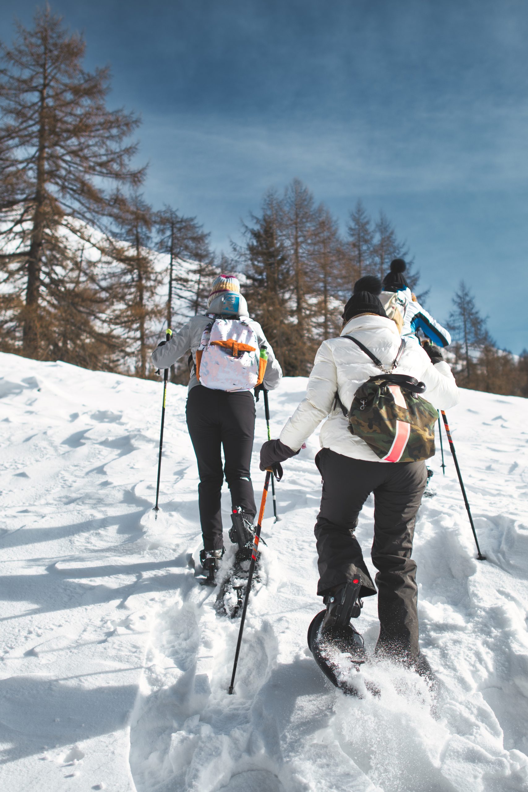
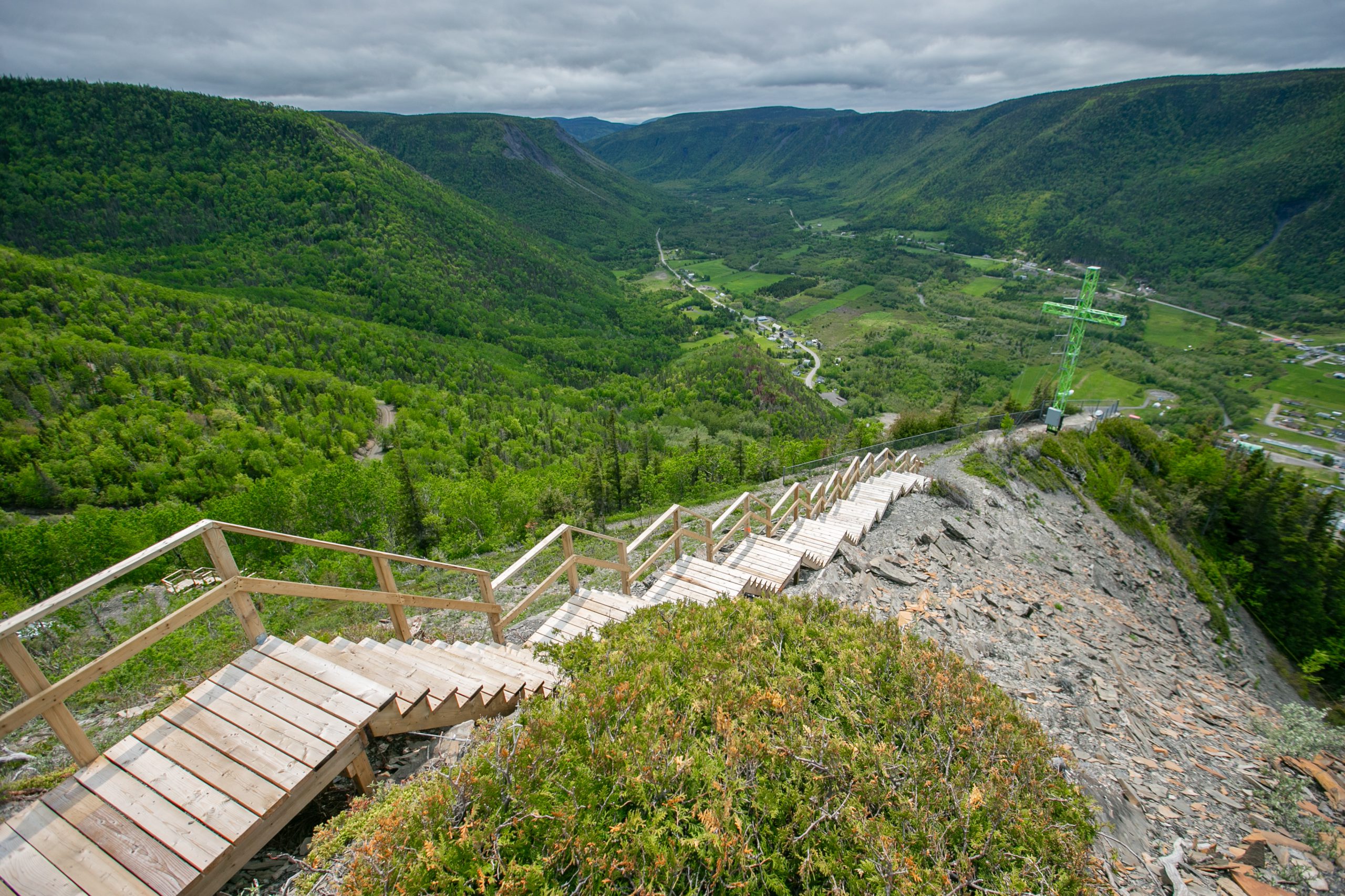
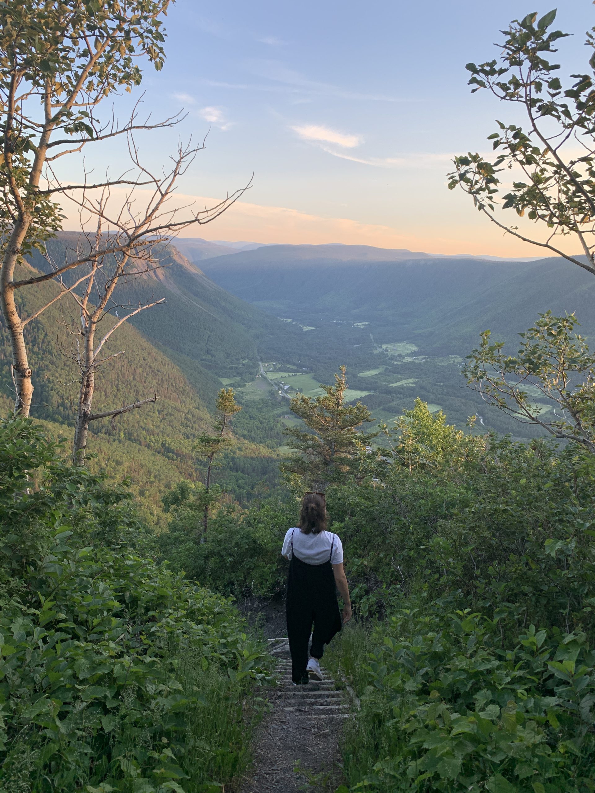
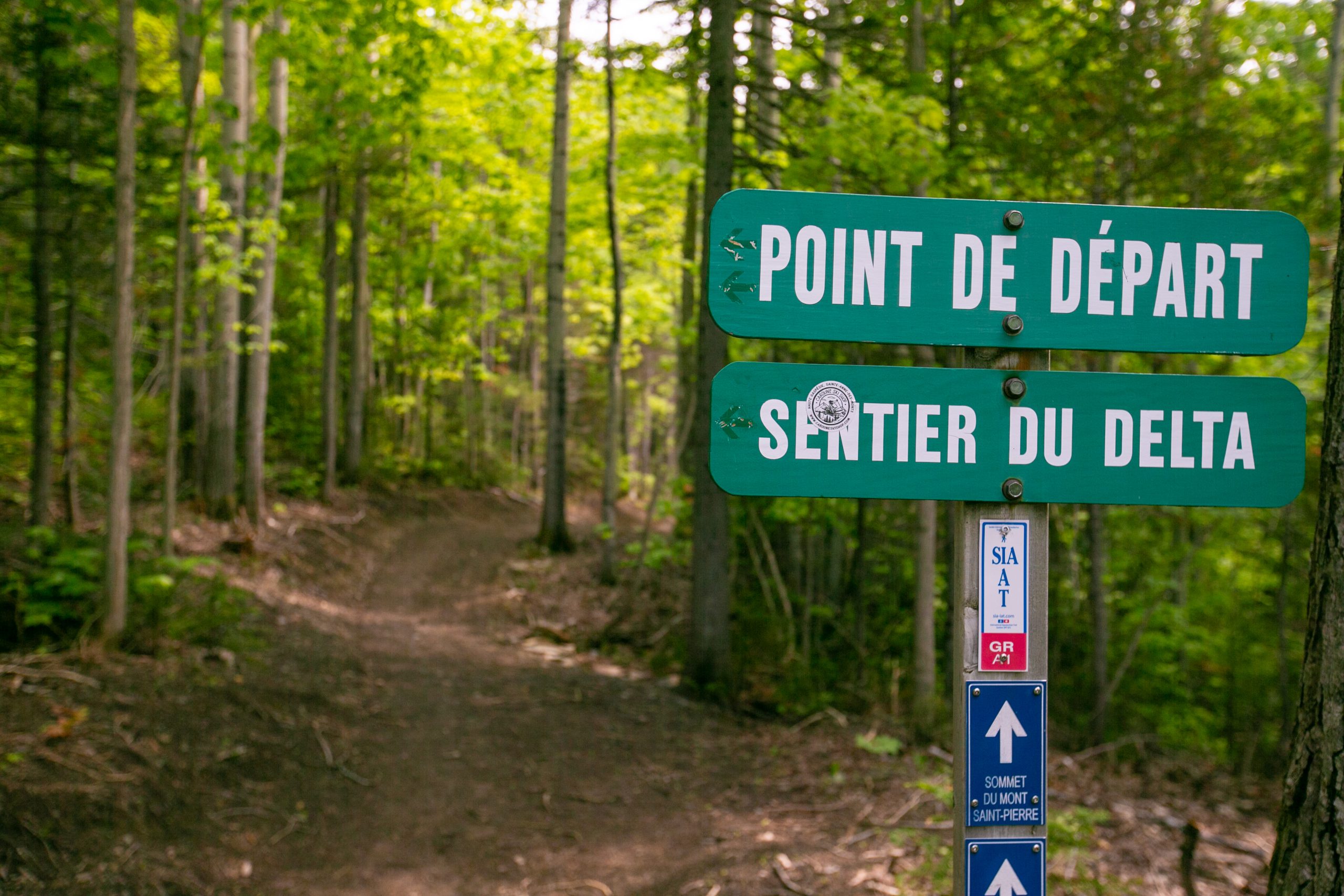
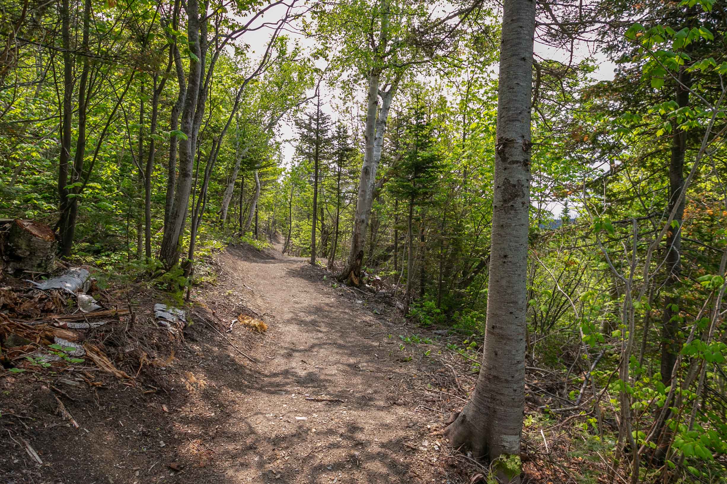
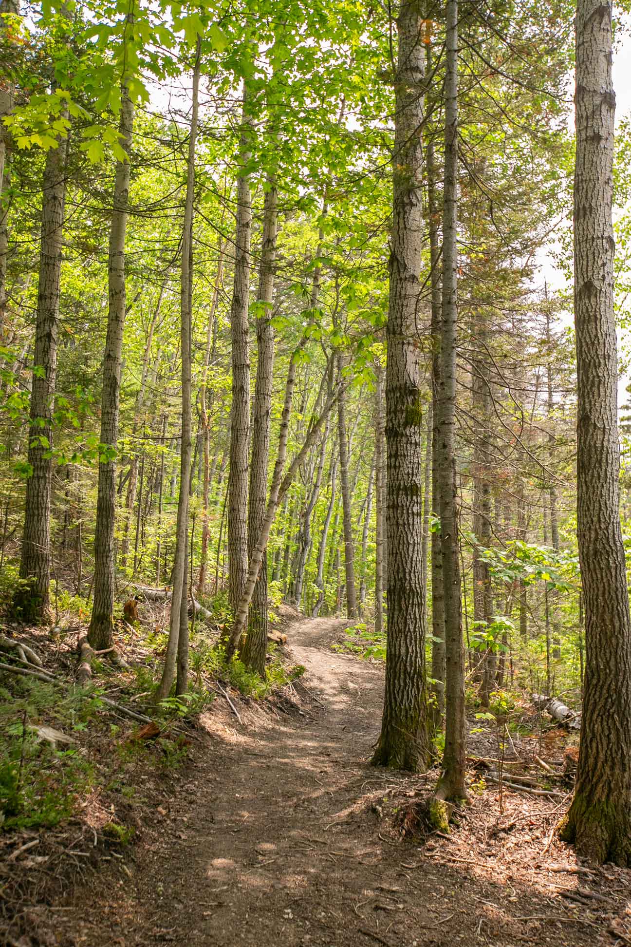
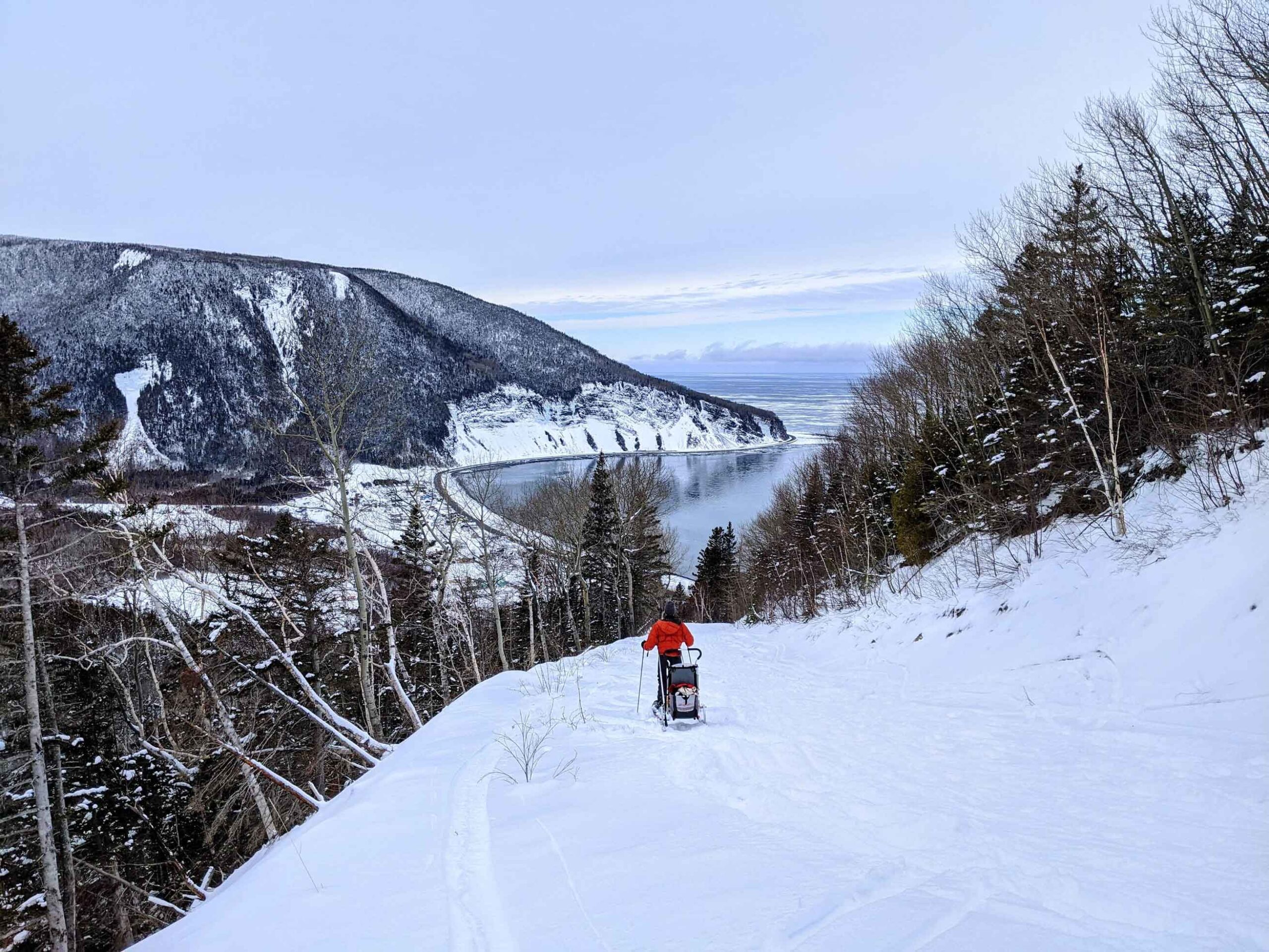
Delta Trail
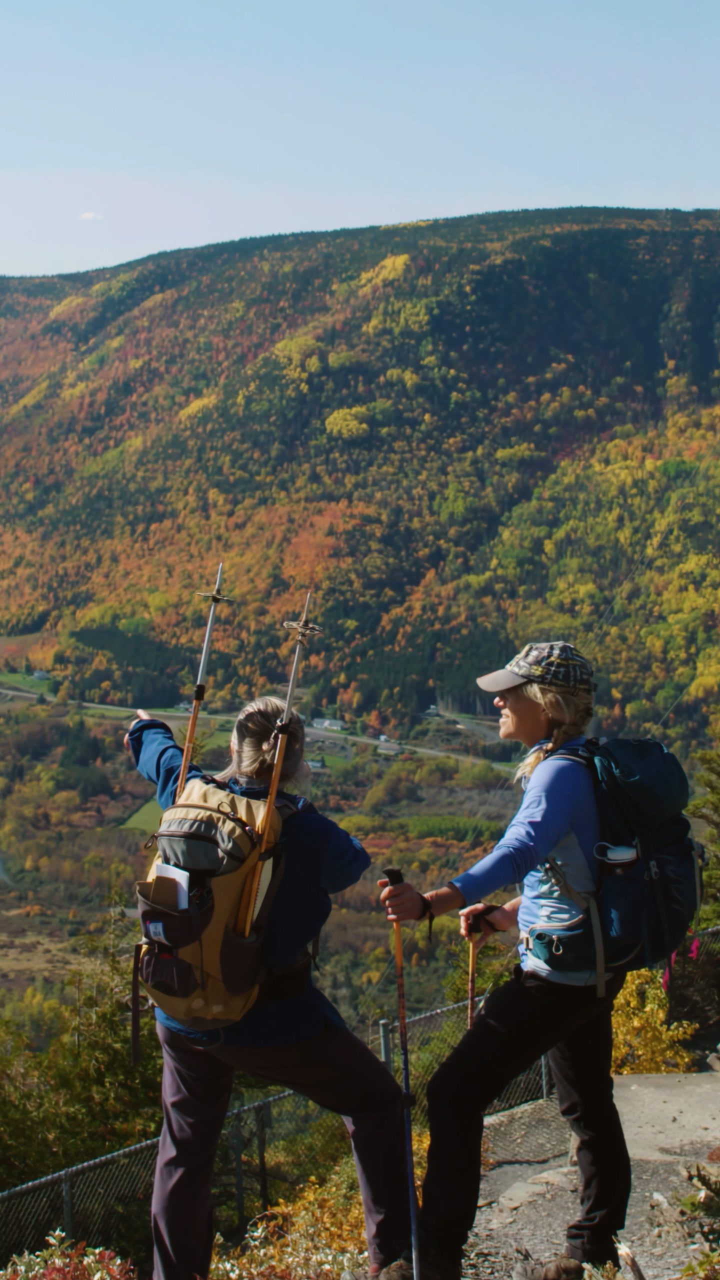
If you come to Mont-Saint-Pierre, visiting its summit is a must.
For your convenience, the trail has been completely redesigned to allow access for children and adults alike. Once you’ve reached the cross, head to the ridge section with its long wooden staircase. Here’s a challenge for you: Count the number of steps!
Distance : 3.2 km
Elevation : 430 m
Difficulty level: Intermédiaire
Time: 2 heures (aller-retour)
Check out our map on Ondago for a complete overview of our trails.notre carte Ondago

Lynx Trail
Looking for a bigger challenge? Try the Lynx Trail!
Marked trails with interpretative panels explain how our glacial valley was formed. The climax of this hike is the viewpoint from Mont François-Bernèche, which offers a breathtaking panorama of Mont Saint-Pierre and the St. Lawrence River.
Distance: 14.6 km
Difficulty level: Advanced intermediate
Time: 5 hours (round trip)
Check out our map on Ondago for a complete overview of our trails.
SIA/GR A1
Trail to Mont Jacques-Cartier in Gaspésie National Park or to Saint-Maxime-du-Mont-Louis.
If you’re looking for longer hikes, the International Appalachian Trail, which runs from La Matapédia to Gaspé (Gaspésie section), passes through Mont-Saint-Pierre
Click here to find out more about the International Appalachian Trail.
Map
Come see us at Espace Découverte to discover our trails on the interactive model. You can also download our trail map on Ondago.
Rates
Trailheads
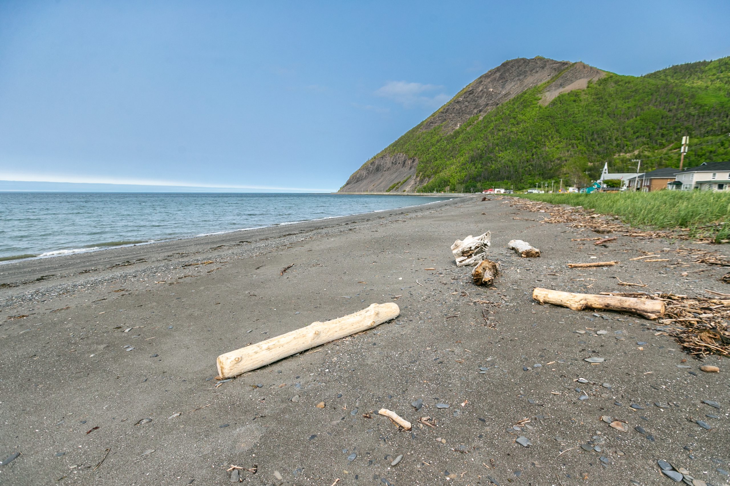
Delta Trail: At the end of the village on Route 132, heading east. GPS search: 130 rue Prudent-Cloutier.
Lynx Trail: Route Pierre-Godefroi-Coulombe, 4.6 km from the junction with Route 132.
Access to Mont Jacques-Cartier from Gaspésie National Park: Route 2 via Route Pierre-Godefroi-Coulombe.

Questions?
You might find an answer below.
Yes, we suggest using the Salle du Clocher parking lot.
The trail is rated intermediate. The trail has been upgraded to make it accessible to everyone, with the addition of a staircase on the ridge to facilitate climbing.
At least 2-hour round trip, but possibly more depending on your level. Don’t forget your water bottle!
Yes, on a leash.
On the Ondago app.
430 metres.
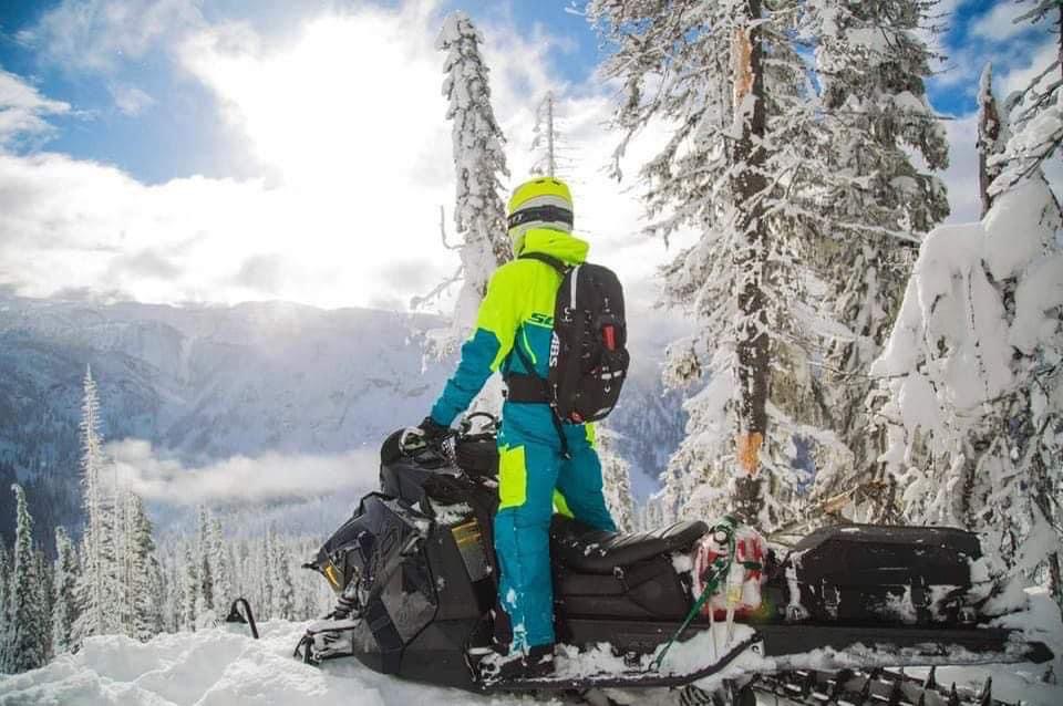
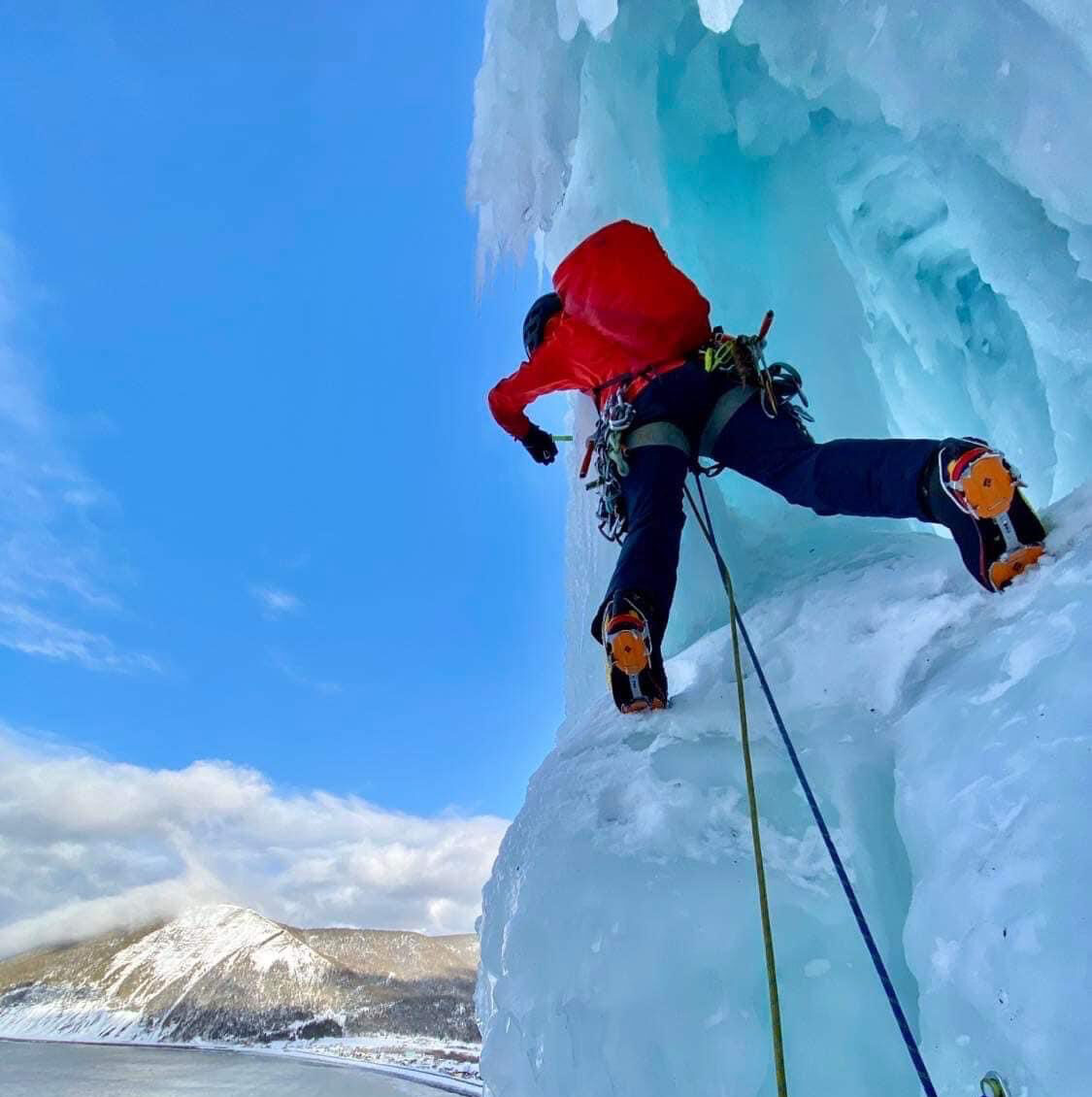
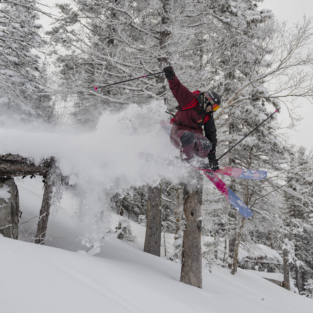
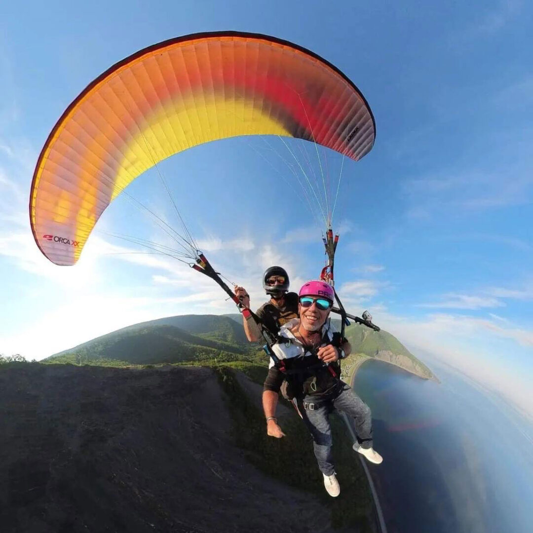
A mountain of activities
Whether you’re looking for relaxation or adrenaline, during winter or summer, Mont-Saint-Pierre has a host of activities to offer.